t̕sic̓əl̕əs: The Village at the Mouth of the Brunette
The Brunette River drains the east end of Burnaby Lake into the Fraser, and at that junction stood villages whose names some Burnaby residents have never read once.
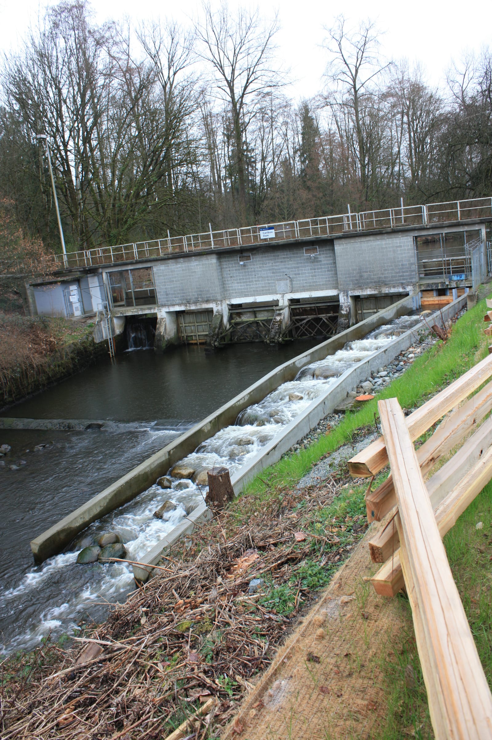
The Brunette River runs about ten kilometres, from the east end of Burnaby Lake down to the Fraser. Most days a driver crosses it on Highway 1, or on one of the streets near the New Westminster line, and never sees the water at all. It is below the deck, moving. Salmon move with it. They come up from the Fraser, push through the lower river into the lake, spawn, and the next generation runs back down toward the big river the following autumn. That cycle is older than the overpass by a length of time the overpass cannot measure. People followed the same line of water long before anyone graded a road beside it.
Where the Brunette meets the Fraser, the Burnaby Village Museum's "Indigenous History in Burnaby Resource Guide" records that many permanent and seasonal villages stood. Among them the Guide names two hən̓q̓əmin̓əm̓ (Downriver Halkomelem) fishing villages: t̕sic̓əl̕əs and qiqéyt. It calls the junction "a prime Indigenous fishing location used by hən̓q̓əmin̓əm̓ and Sḵwx̱wú7mesh ancestors in the past, and by their descendants today."
A name held in one book
The name t̕sic̓əl̕əs comes down to us in a single place. It is documented in the Resource Guide, researched and written by museum curator and researcher Sharon Fortney, who built the Guide over three years alongside the Kwantlen, Sḵwx̱wú7mesh (Squamish), Tsleil-Waututh and xʷməθkʷəy̓əm (Musqueam) Nations. The work won a national award from the Canadian Museums Association. That spelling, letter for letter, appears in Fortney's work and, as far as the available record shows, nowhere else.
The other village the Guide names is on firmer footing. qiqéyt is documented more widely under the spelling Qayqayt, recorded independently as a village at the confluence. So one name carries the weight of many sources, and one rests on a single careful book. The honest thing is to say so once and then to use the name with respect, which is what a name attested in one place asks for.
Where the line falls
The confluence of the Brunette and the Fraser sits on, or just over, the New Westminster side of today's municipal boundary. That boundary is a recent thing, ruled onto the ground by a surveyor. The river predates it by ages. The salmon run and the canoe route pass through Burnaby no matter which side of the line the mouth of the village fell on, and the land along the corridor on the Burnaby side belonged to the same web of use.
The Guide describes the water route as one many families used to canoe to and from New Westminster. Picture the work of it: a canoe leaving the brown current of the Fraser, the paddlers leaning into the turn where the smaller river opens, then the steady pull upstream along the Brunette toward Burnaby Lake. The river was the road. It carried fish one way and people the other.
The salmon road
A fishing village stands where the fish are reliable, and the mouth of the Brunette put people exactly there, at the point where Fraser traffic and a productive tributary met. The run is the reason the junction mattered. Families who lived here did not depend on a market a day's travel off; the food came up the river to them on a schedule the river kept itself. That reliability is wealth. It is the difference between a place worth naming and a place merely passed through.
What the daily life of t̕sic̓əl̕əs looked like, the public record does not hand over. The Guide names the village and the use of the place, and there the page falls quiet. So the village is named here as it is named there, and the quiet is left as quiet.
What crosses the river now
National Indigenous History Month falls in June, which is part of why the name surfaces now. The larger reason is older and simpler. The presence the Guide records does not stop and start. Ancestors in the past, the Guide says, and descendants today, on the same water.
The river still runs from the lake to the Fraser. The salmon still climb it. The villages at the mouth have gone from the surface of the place, kept now in a museum guide and a short handful of spellings, one of them found in only one book. On an ordinary afternoon the traffic crosses the Brunette on the overpass, and below the deck the water keeps moving the way it always has, toward the Fraser, against the fish coming up the other way.
Editor & Publisher
Artom Butenko
Founder and editor of 8 Pages Burnaby. Writes the fact-dense, archival pieces — origins, infrastructure, and the documents that explain how the city works.
More from June 2026
Full issue →
Frank E. Buck and the Eagles Estate Garden
The man who laid out the University of British Columbia's grounds also drew the plan for a small terraced garden on the Deer Lake slopes. Thousands walk his larger work without learning his name; in Burnaby, the smaller work survives as roughly 0.6 hectares of plantings above the water.
Brenda · 5 min read
The Station That Wandered
A small wooden tram shelter built in 1911 is the only piece of Burnaby's interurban railway still standing. It has moved twice by truck, and the engineer it was named for has all but vanished from the record.
Artom Butenko · 4 min read
Keys to the Centre
On 22 June 1956, a contractor handed Reeve Charles MacSorley the keys to a new municipal hall at 4949 Canada Way, near Deer Lake. The site had been chosen two years earlier by a simple rule: put the seat of government where neither half of Burnaby could complain it favoured the other.
Artom Butenko · 5 min read